
Drone Mapping, Photogrammetry & Aerial Media in Eastern Ontario
King Aerial Solutions provides professional drone services for construction, aggregates, land development, property management, inspections, real estate, agriculture, and local businesses across Eastern Ontario.
Using advanced drone and RTK technology, KAS helps clients capture accurate visual data, document progress, inspect hard to reach areas, and create high-quality aerial photos and videos.
Whether you need a site mapped, a project documented, stockpiles measured, or professional aerial visuals for your business, KAS can provide expert drone solutions tailored to your needs.
Serving Cornwall, SDG Counties, Ottawa, Kingston, Brockville, Eastern Ontario, and surrounding areas.
Fully Licensed and Insured.
Precision from above. Clarity on the ground.
Drone Mapping, Photogrammetry & Aerial Media in Eastern Ontario
Common uses include:
Aggregate stockpiles
Gravel, sand, stone, and soil piles
Excavation areas
Fill material
Site grading support
Material inventory tracking
This can help reduce manual measurement time, improve record keeping, and support better planning for material use, ordering, and reporting.
Note: Volumetric data is provided as an estimate and is not a legal land survey unless reviewed or certified by the appropriate licensed professional.
Drone mapping can be used for:
Construction sites
Land development
Gravel pits and aggregate yards
Farms and rural properties
Commercial properties
Roads, lots, and open land
Project planning and documentation
Deliverables may include high-resolution stitched maps, site overview images, and visual documentation that can be used for planning, reporting, and progress tracking.
This is useful for:
Site visualization
Construction progress records
Property documentation
Building exteriors
Terrain and surface review
Marketing and presentation visuals
Before-and-after comparisons
3D models can help clients better understand site conditions, project progress, and physical space without needing to be on location.
Useful for:
Roof inspections
Commercial buildings
Residential properties
Exterior building reviews
Parking lots and drainage areas
Towers, structures, and hard-to-reach areas
Storm or damage documentation
Drone inspections can help identify visible issues, document current conditions, and provide useful imagery before sending workers onto ladders, roofs, or elevated structures.
Aerial photo and video services are useful for:
Real estate listings
Commercial properties
Farms and rural land
Construction projects
Business marketing
Social media content
Completed project showcases
Event or location promotion
Whether you need clean property photos, social media clips, or project highlight footage, aerial visuals help your work stand out.
This service is ideal for:
Builders
General contractors
Developers
Civil contractors
Property owners
Municipal or commercial projects
Progress documentation can include aerial photos, short video clips, site overview images, orthomosaic maps, and before-and-after records.
Comprehensive Drone Services
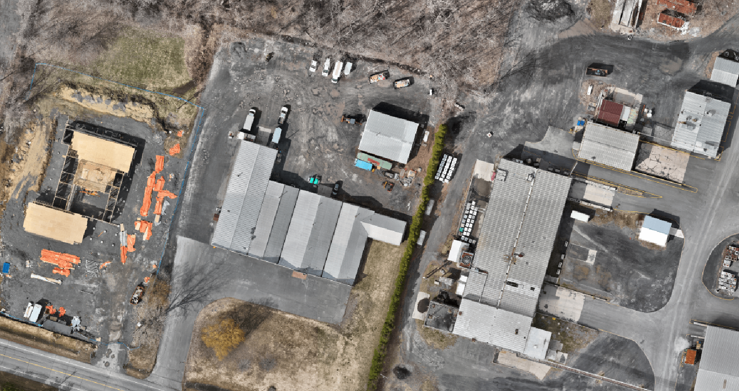
Drone Mapping & Orthomosaic Maps
High-resolution aerial mapping gives you a clear, top-down view of your site, property, or project area.
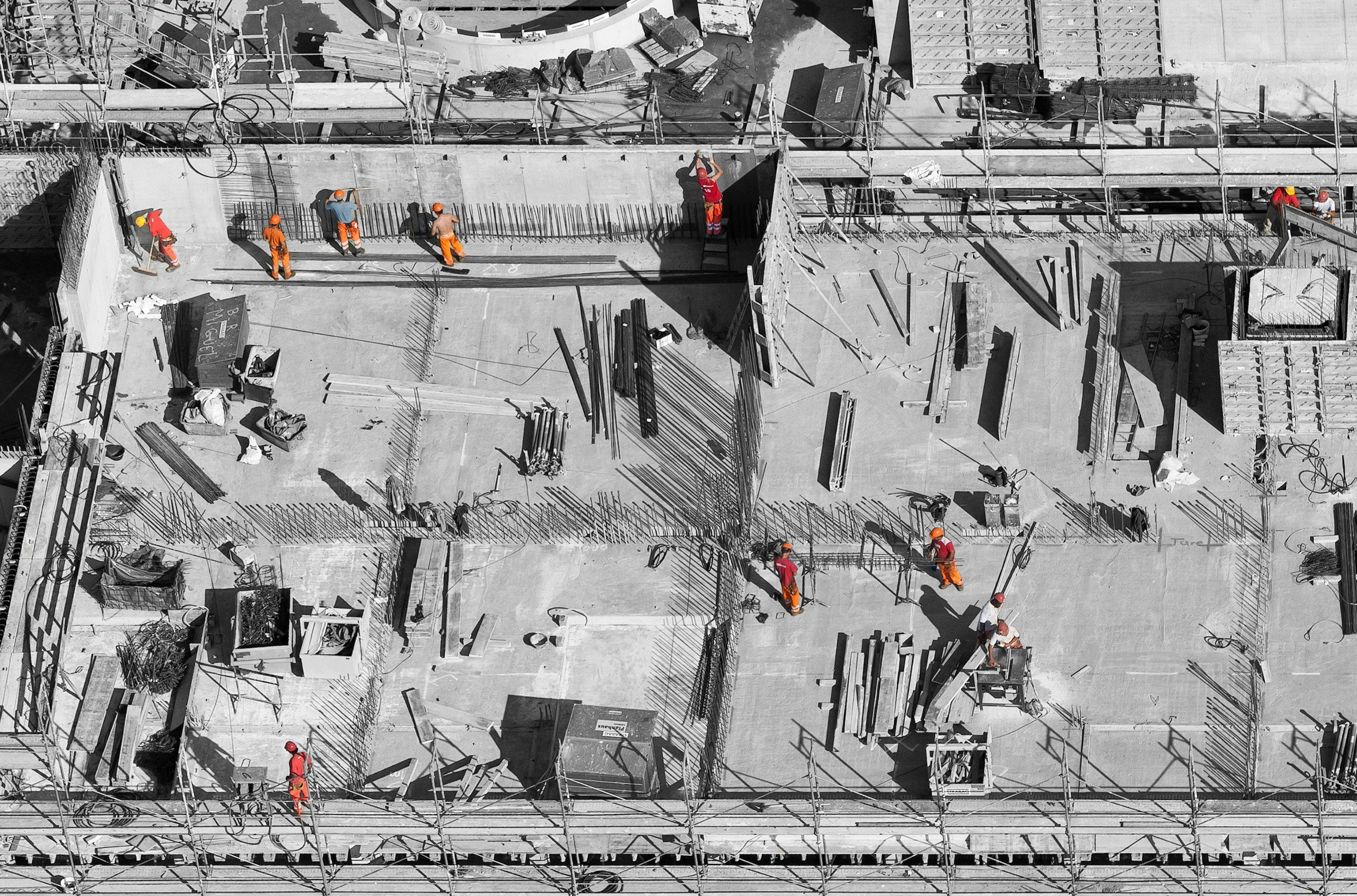
Construction Progress Documentation
Regular drone site documentation helps contractors, developers, owners, and project managers track progress from a clear aerial perspective.
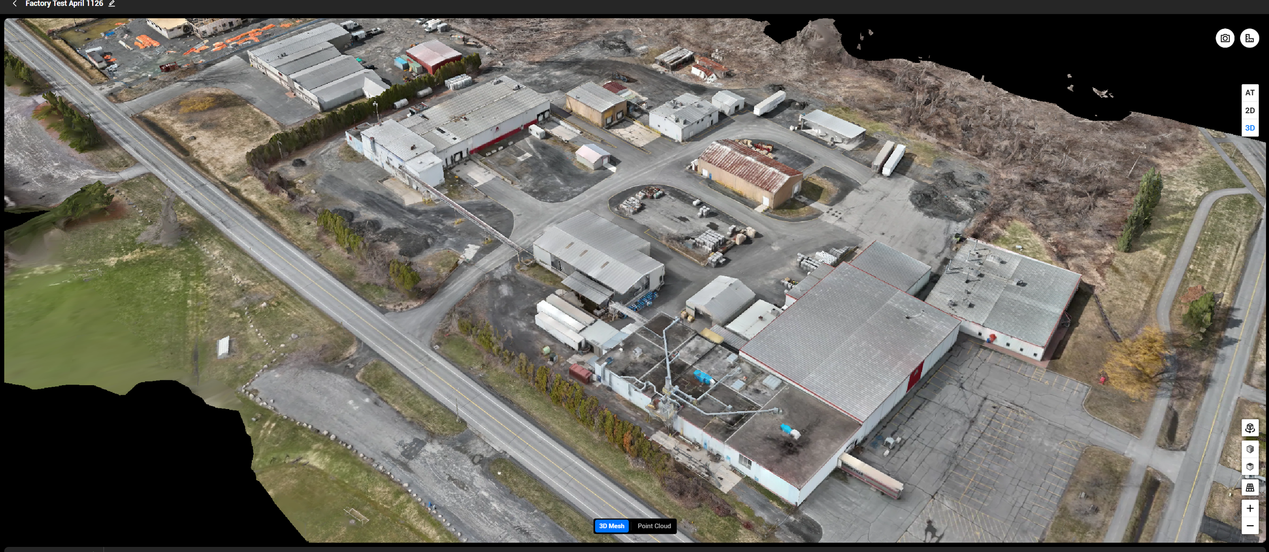
Photogrammetry & 3D Models
Photogrammetry uses overlapping drone images to create detailed 3D models and visual site reconstructions.
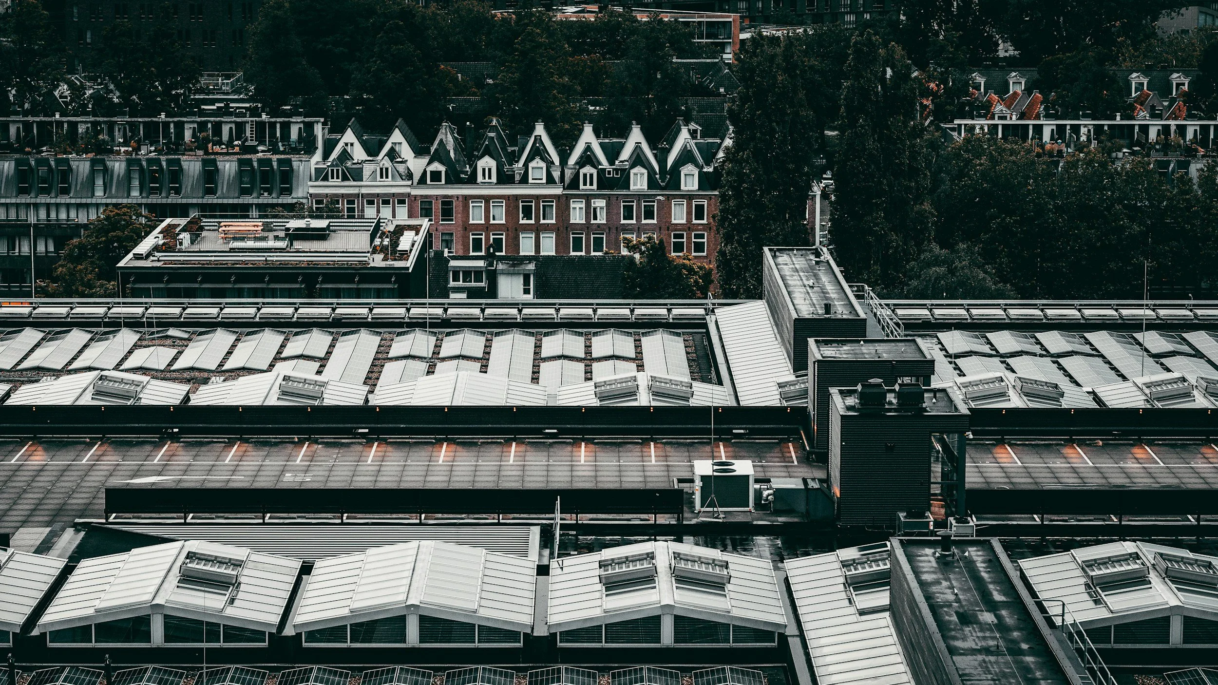
Roof, Property & Infrastructure Inspections
Drones can safely capture detailed imagery of areas that are difficult, time-consuming, or risky to inspect from the ground.
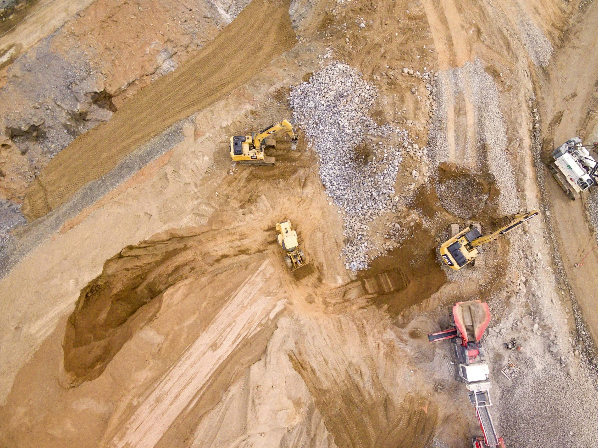
Volumetric Measurements
Drone-based volume estimates can help businesses better understand stockpiles, earthworks, and material movement.
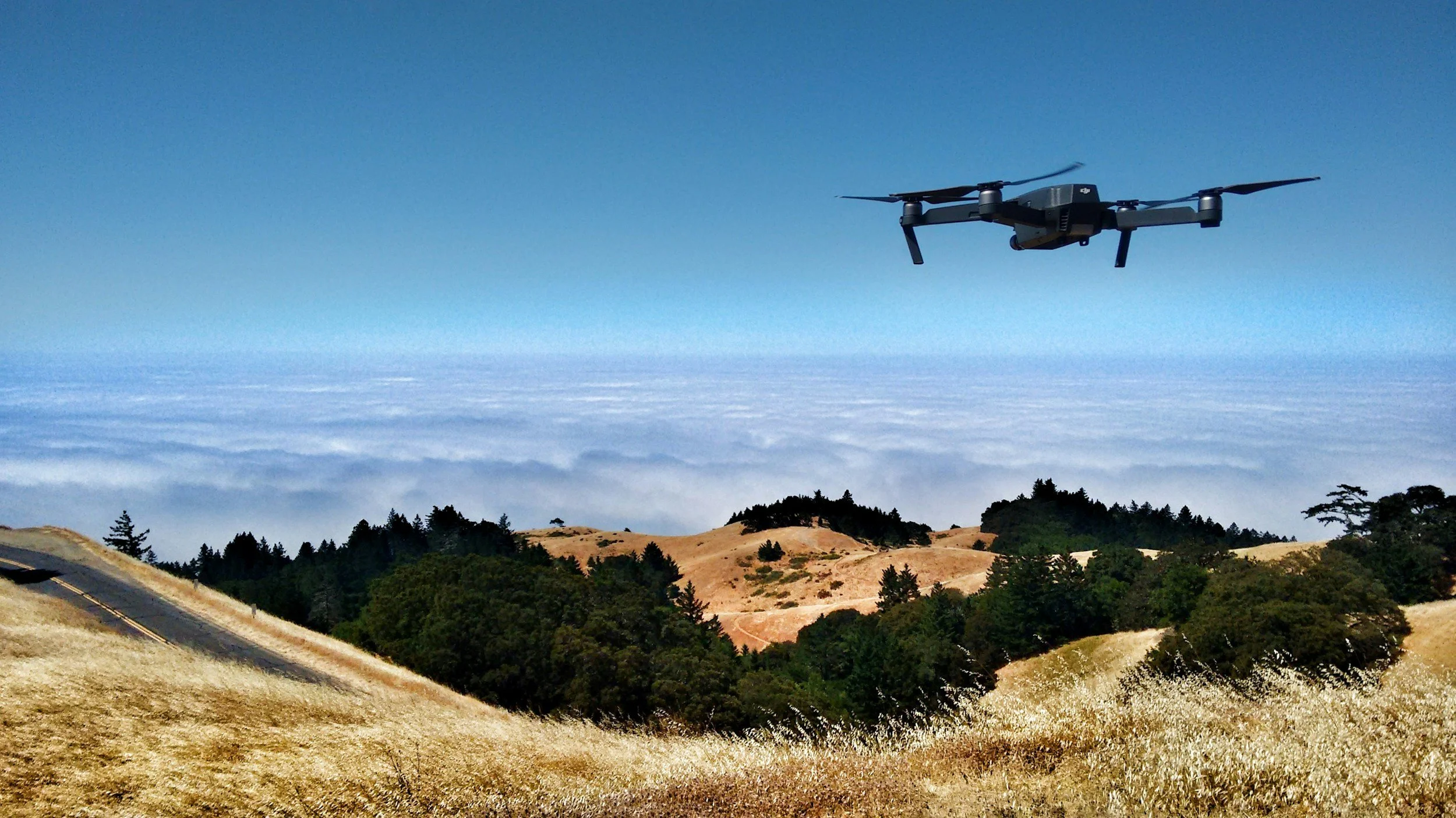
Aerial Photography & Videography
Professional aerial media can help businesses, property owners, and real estate professionals showcase locations from a stronger perspective.
Why Use Drone Services?
Drone data is more than just good-looking photos. It can create real value for businesses by helping teams make better decisions, improve documentation, and improve efficiency.
Build a clear visual record of your site
Improve material and stockpile tracking
Support client and stakeholder updates
Create professional marketing visual
Improve project visibility
Capture hard-to-reach areas safely
Track progress over time
Document pre-existing site conditions
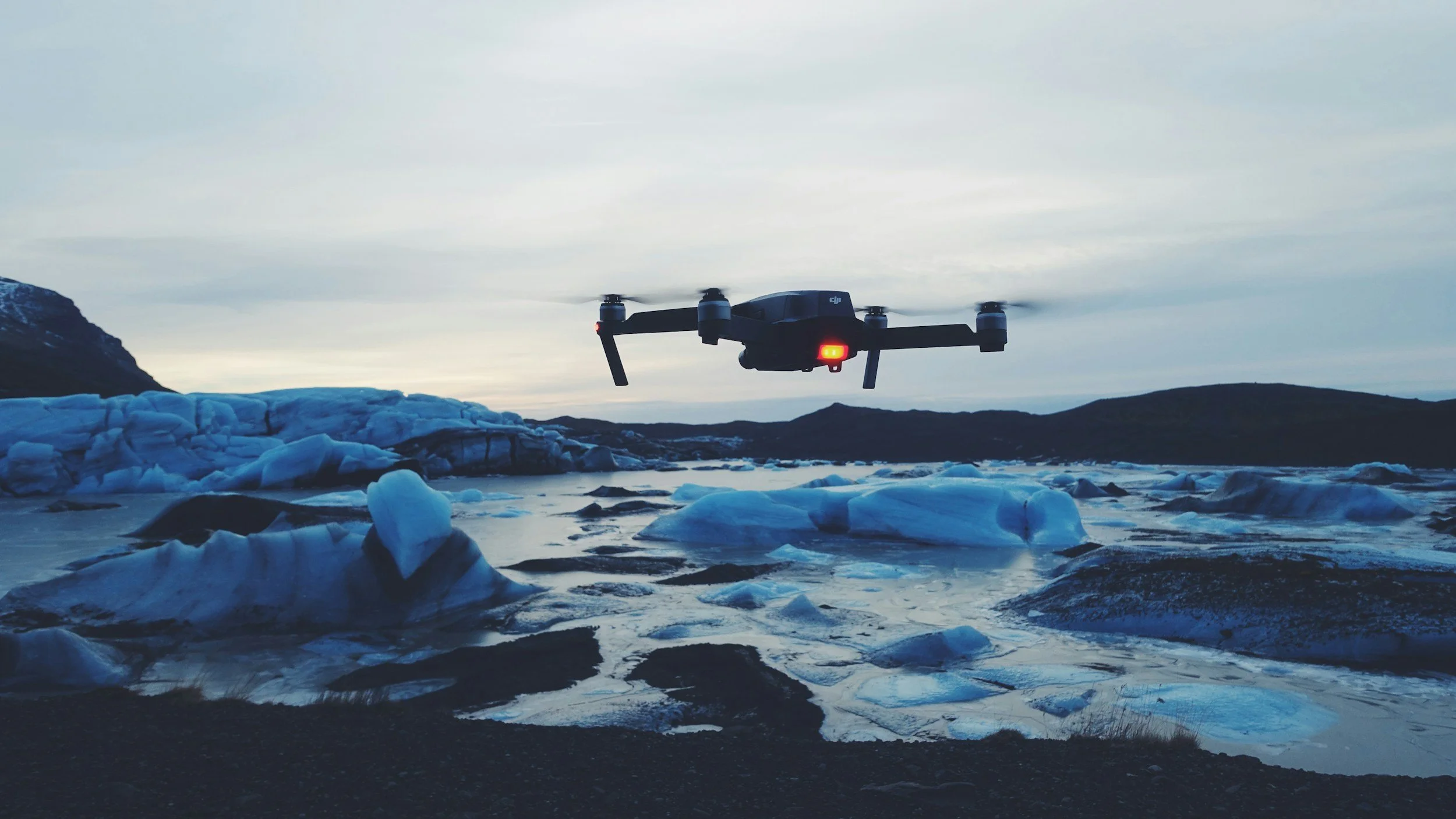
Industries Served



Request a Quote
Use the form below to tell us about your project. We’ll review the details and get back to you as soon as possible.
About
King Aerial Solutions is owned and operated by Ethan King, based in Cornwall Ontario.
With a background in critical care and emergency nursing, Ethan brings a strong focus on safety, professionalism, attention to detail, and calm decision-making to drone operations. King Aerial Solutions was created to provide practical, reliable drone service solutions for businesses that need high quality, high accuracy data and imagery.
The goal is simple: provide the best possible drone deliverables to help clients.
As a local business, King Aerial Solutions is focused on building long-term relationships with companies and customers across Cornwall, SDG Counties, Ottawa, Kingston, Brockville, and the surrounding Eastern Ontario region.